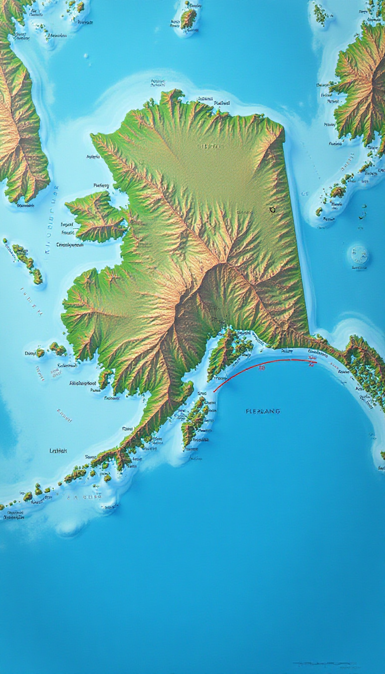
This stunning AI-generated image showcases a vibrant map of Alaska's Aleutian Islands, featuring the significant 180° meridian prominently marked in bold. The Aleutian Islands are a fascinating archipelago that stretches across the Bering Sea, connecting the North American continent to Asia. This map not only highlights the unique geographical layout of the islands but also serves as an educational tool for children to learn about geography, cartography, and the importance of meridians in understanding Earth's geography. By visualizing the 180° meridian, young learners can grasp concepts like time zones and the division of the Eastern and Western Hemispheres. This creative representation encourages students to engage with their geography lessons in a fun and imaginative way, reinforcing their learning while sparking curiosity about the natural world. Parents and teachers can use this vibrant image to inspire discussions about Alaska's diverse ecosystems, the significance of the Aleutian Islands in history, and the marvels of geography.
At Train Your Brain, we believe in balancing education with creativity. Children earn the opportunity to create these amazing images by completing learning modules, ensuring that fun and learning go hand in hand.
Our AI is designed with child safety in mind. It automatically flags potentially unsafe image requests and notifies parents, ensuring a secure environment for young minds to explore their creativity.