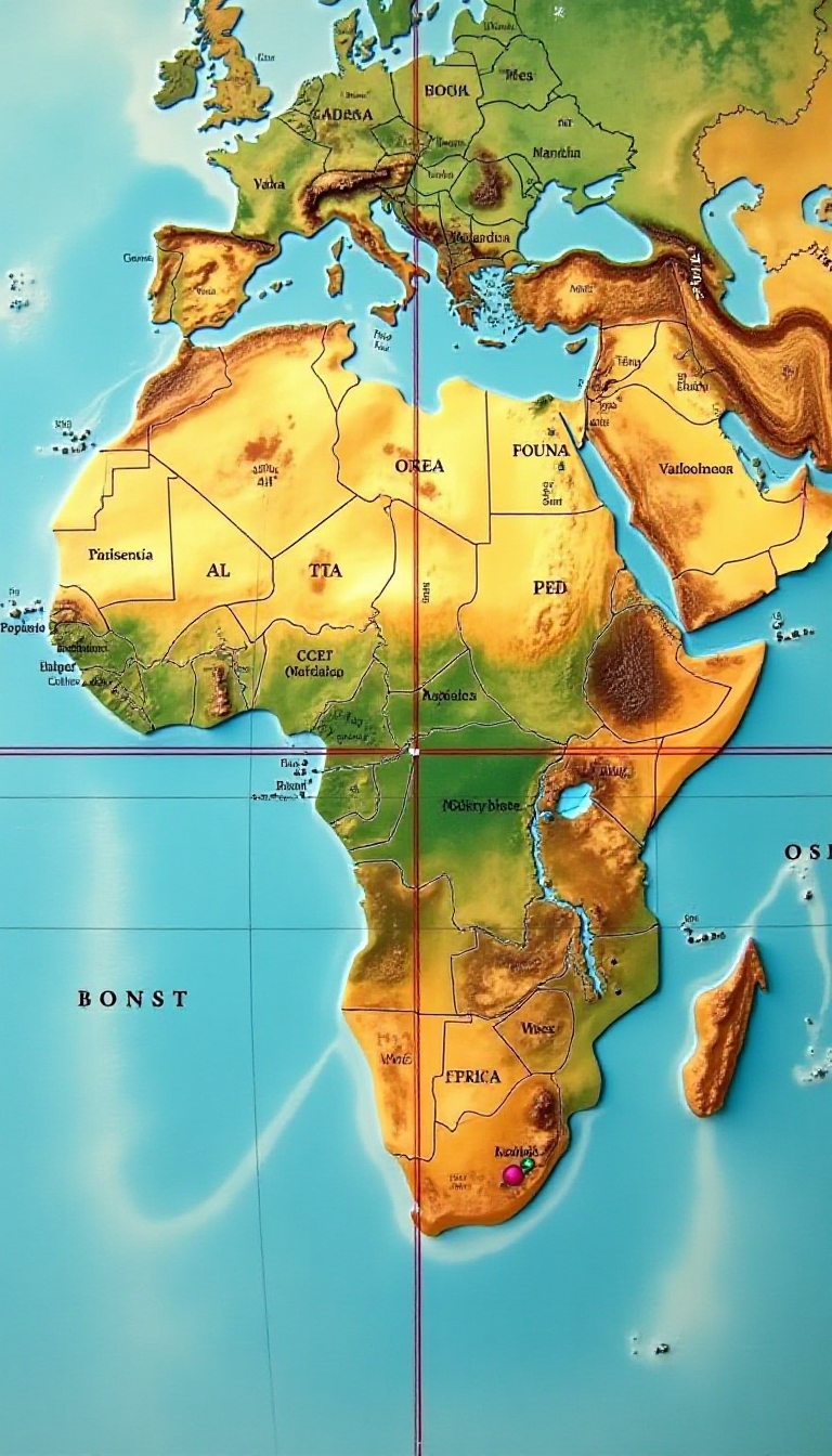
This vibrant map illustrates the Equator and Prime Meridian, two of the most significant imaginary lines on Earth. The Equator, which circles the globe at 0 degrees latitude, divides our planet into the Northern and Southern Hemispheres, while the Prime Meridian, at 0 degrees longitude, separates the Eastern and Western Hemispheres. Both lines intersect through Africa, a continent rich in diverse cultures, ecosystems, and history. This educational image serves as a fantastic tool for children to visualize geography, understand time zones, and explore global diversity. By engaging with this map, kids can learn about the importance of these geographical markers, how they influence climate, and their role in navigation. Encouraging creativity, our AI platform allows children to generate unique visuals that complement their learning, making geography not just informative but also fun and inspiring. Dive into the world of maps with your child and ignite their curiosity about our planet!
At Train Your Brain, we believe in balancing education with creativity. Children earn the opportunity to create these amazing images by completing learning modules, ensuring that fun and learning go hand in hand.
Our AI is designed with child safety in mind. It automatically flags potentially unsafe image requests and notifies parents, ensuring a secure environment for young minds to explore their creativity.