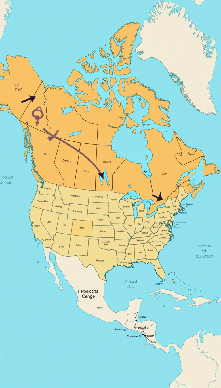
This captivating image presents an educational map of the United States with Alaska prominently highlighted. It features arrows pointing east and west, visually demonstrating the vast distance between Alaska and the contiguous states. This image is a fantastic tool for teaching children about geography, emphasizing the importance of understanding our nation's layout. By highlighting Alaska, kids can explore its unique geography, climate, and wildlife compared to other states. The arrows not only make it visually appealing but also serve as a prompt for discussions about regional differences and travel routes across the country. Engaging with this map can ignite a child's curiosity about where they live and inspire them to learn more about different states, cultures, and histories. At Train Your Brain AI, we believe in the power of creativity through education; this image is a perfect example of how kids can express their learning through technology. Encourage your child to create their own maps or explore other aspects of geography with our interactive lessons, fostering both creativity and knowledge in a fun, engaging way.
At Train Your Brain, we believe in balancing education with creativity. Children earn the opportunity to create these amazing images by completing learning modules, ensuring that fun and learning go hand in hand.
Our AI is designed with child safety in mind. It automatically flags potentially unsafe image requests and notifies parents, ensuring a secure environment for young minds to explore their creativity.