
How to Label Continents and Oceans on a World Map
Quick Answer
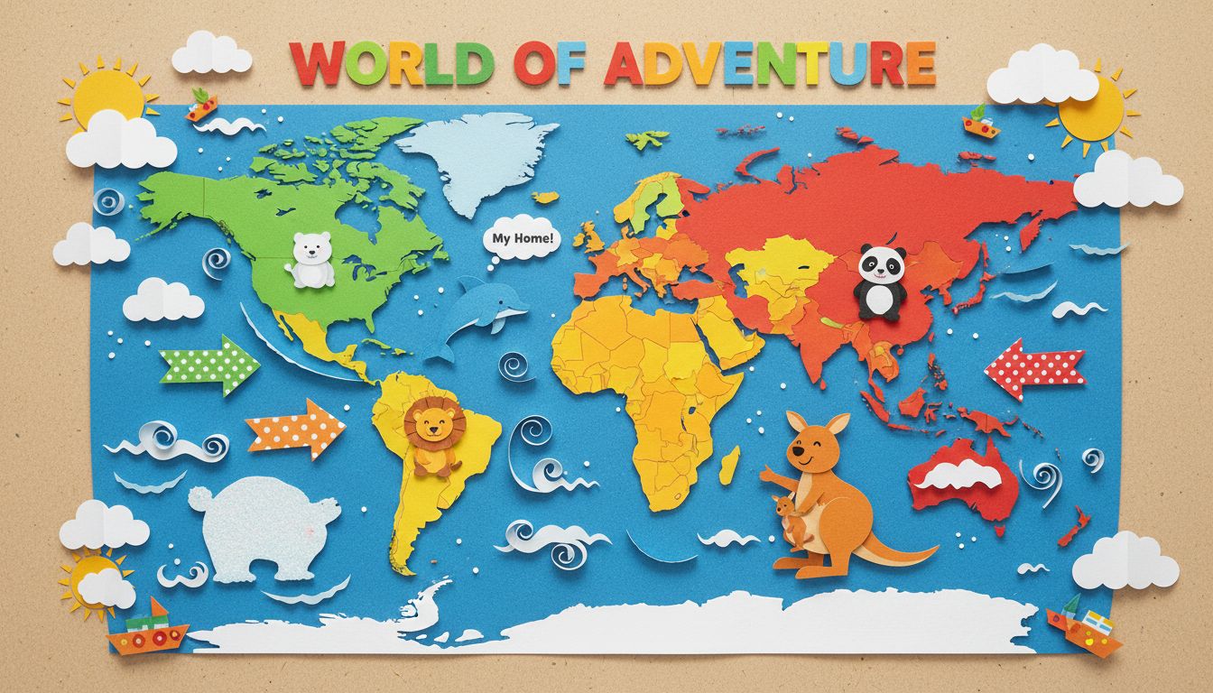
To label continents and oceans on a world map, ensure you correctly position North America, South America, Europe, Africa, Asia, Australia, Antarctica, and the Arctic, Atlantic, Indian, Southern, and Pacific Oceans. Each landmass and ocean has a distinct location that is key to understanding global geography.
Labeling a world map correctly is an essential skill in geography that helps students understand the layout of our planet. A world map showcases the continents and oceans, each with unique shapes and locations that are vital for recognizing geographical relationships. This guide will walk you through the correct labeling of continents and oceans, ensuring you have a firm grasp on the basics of world geography.
### Continents
1. **North America**: Located in the upper-left section of the map, North America is bordered by the Arctic Ocean to the north and the Atlantic Ocean to the east. Key countries include the United States, Canada, and Mexico.
2. **South America**: This continent sits directly south of North America and is characterized by its long, narrow shape. It is bordered by the Atlantic Ocean to the east and the Pacific Ocean to the west. Notable countries include Brazil and Argentina.
3. **Europe**: Located to the northwest of Asia, Europe is a relatively small continent compared to others. It's bordered by the Arctic Ocean to the north and the Mediterranean Sea to the south. Countries like France, Germany, and Italy are situated here.
4. **Africa**: Found directly south of Europe, Africa has a distinct triangular shape and is the second-largest continent. It is bordered by the Mediterranean Sea to the north and the Indian Ocean to the southeast. Countries like Egypt and Nigeria are key parts of this continent.
5. **Asia**: The largest continent, Asia is located to the east of Europe and is bordered by the Arctic Ocean to the north and the Pacific Ocean to the east. It includes countries such as China, India, and Japan.
6. **Australia**: This island continent is found in the Southern Hemisphere, to the southeast of Asia. It is bordered by the Indian Ocean to the west and the Pacific Ocean to the east. Australia is both a country and a continent.
7. **Antarctica**: At the very bottom of the world map, Antarctica is a vast, icy continent located around the South Pole.
### Oceans
1. **Arctic Ocean**: Situated at the top of the map, the Arctic Ocean is the smallest and shallowest ocean, bordered by North America and Eurasia.
2. **Atlantic Ocean**: Found between North America and Europe, the Atlantic Ocean is the second-largest ocean, connecting to the Mediterranean Sea and the Caribbean Sea.
3. **Indian Ocean**: Located to the southeast of Africa and the south of Asia, the Indian Ocean is the third-largest ocean, bordered by several countries including India and Australia.
4. **Southern Ocean**: This ocean encircles Antarctica and is recognized for its unique ecosystem and cold waters.
5. **Pacific Ocean**: The largest ocean, the Pacific, lies between Asia and Australia on one side and North and South America on the other. It is known for its vastness and numerous islands.
### Real-World Applications
Understanding how to label a world map is not just an academic exercise; it has real-world applications. Knowledge of geography is crucial in various fields such as international relations, environmental science, and global trade. For instance, knowing the locations of continents can help you understand climate change impacts, resource distribution, and cultural exchanges.
By mastering the labeling of continents and oceans, students build a foundational skill that enhances their understanding of the world.
### Conclusion
In summary, being able to identify and label the continents and oceans correctly is an essential part of geography education. This skill not only aids in academic success but also fosters a greater appreciation of our planet. Keep practicing, and soon you'll be able to label any world map with confidence!
Was this answer helpful?