
How to Use a K-W-L Chart for Geography Learning
Quick Answer
A K-W-L chart helps organize your thoughts in geography. Start by listing what you know (K), what you want to know (W), and later what you've learned (L). This tool makes studying more interactive and enjoyable.
If you're struggling with geography, using a K-W-L chart can be a great way to organize your thoughts and focus your study efforts. The K-W-L chart stands for 'What do I Know?', 'What do I Want to know?', and 'What did I Learn?'. This simple tool helps you break down information into manageable sections, making geography less daunting and more engaging.
**1. Understanding the K-W-L Chart**
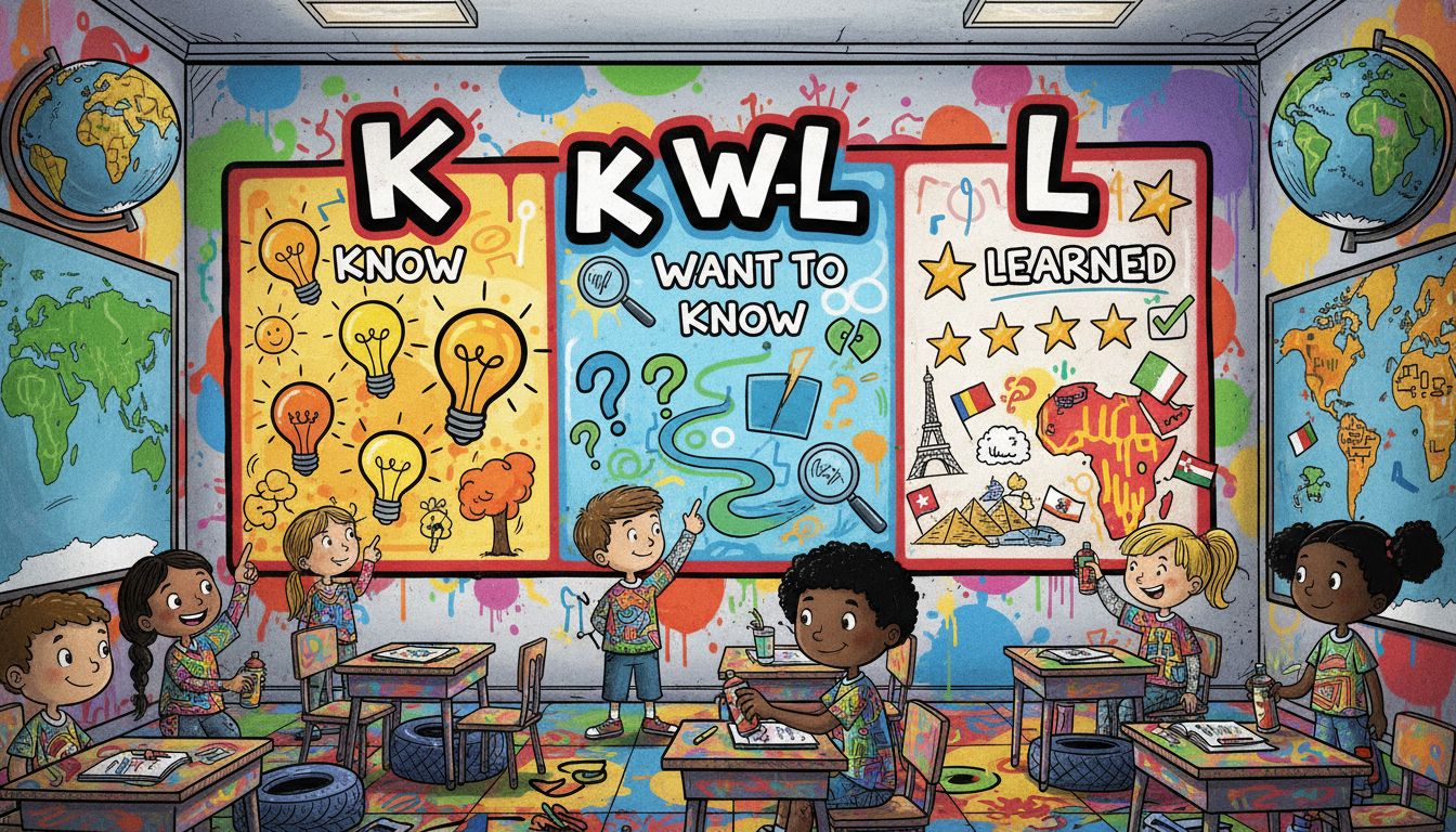
The K-W-L chart is divided into three columns:
- **K (What do I Know?)**: In this section, jot down any facts or ideas you already have about the geography topic at hand. They can be as simple as knowing that there are seven continents or that the Equator is an imaginary line that divides the Earth into the Northern and Southern Hemispheres.
- **W (What do I Want to know?)**: Here, write down questions or topics you’re curious about. For instance, if the topic is about climate, you might want to know, 'What are the different climate zones?' or 'How does climate change affect different regions?'.
- **L (What did I Learn?)**: This section is filled out after your research or lesson. You can summarize the key takeaways or new insights you gained.
**2. How to Fill It Out**
To make the most of your K-W-L chart, follow these steps:
- **Identify the Topic**: Start by determining what specific geography unit you will be studying. It could be about continents, weather patterns, landforms, or even a specific country. If you're unsure, ask your teacher for clarification.
- **Fill in the K Column**: Think of 2-4 basic facts you know. For example, if your topic is 'Continents', you could write:
- 'I know there are seven continents: Africa, Antarctica, Asia, Australia, Europe, North America, and South America.'
- 'I know that oceans cover more than 70% of the Earth’s surface.'
- **Add to the W Column**: Next, list questions or topics you're interested in learning. This helps guide your research. For example:
- 'What are the major rivers in South America?'
- 'How do maps display different geographical features?'
- **Research and Learn**: Once you have your K and W sections filled out, dive into your learning. Use textbooks, online resources, or ask your teacher for help.
- **Complete the L Column**: After your studies, come back and fill in what you learned. This reinforces your knowledge and helps prepare you for tests or assignments.
**3. Real-World Applications**
Using a K-W-L chart is not just limited to geography; it can be beneficial in various subjects. It promotes active learning and critical thinking, skills that are valuable beyond the classroom. By engaging with what you know and what you want to learn, you take control of your education, making it more personalized and effective.
In summary, the K-W-L chart is a powerful study aid, especially for subjects like geography that may initially seem overwhelming. By breaking down information into smaller parts, you can approach your studies with confidence and curiosity.
Was this answer helpful?