
What Are the Key Parts of a Map? A Guide for Students
Quick Answer
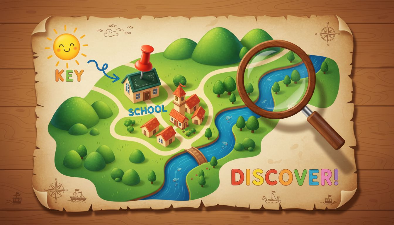
Maps include several key components, such as the title, compass rose, legend, and lines of latitude and longitude. Understanding these elements helps you interpret maps effectively.
Maps are vital tools for understanding geographical information, and knowing their components is essential for anyone studying geography. Here, we'll explore the key parts of a map and their significance.
**1. Title:**
The title of the map, typically found at the top, indicates what the map represents. It provides context for the viewer, letting them know whether the map shows a specific area, such as a city, country, or even a specific theme like population density or climate zones. For example, a map titled 'Population Density of New York City' clearly indicates what information you will find on that map.
**2. Compass Rose:**
A compass rose is another crucial element, usually located in a corner of the map. It displays the cardinal directions: North (N), South (S), East (E), and West (W). Understanding these directions is essential for navigation and helps you orient the map correctly.
**3. Legend (or Key):**
The legend explains the symbols and colors used on the map. It acts as a guide to understanding what different symbols represent, such as parks, schools, or highways. For instance, a green area on the map might represent a park, while a blue line indicates a river. Always refer to the legend when interpreting a map to gain accurate insights into the information presented.
**4. Latitude and Longitude:**
These lines are critical for pinpointing locations on the globe. Lines of latitude run horizontally and measure the distance north or south of the Equator, while lines of longitude run vertically and measure the distance east or west of the Prime Meridian. Understanding how to read latitude and longitude coordinates can help you find exact locations on a map, which is beneficial in various fields such as geography, navigation, and even environmental science.
**5. Scale:**
The scale of a map indicates the relationship between distance on the map and actual distance on the ground. It can be represented in various forms, including a scale bar or a ratio (for example, 1 inch on the map equals 1 mile in reality). Understanding the scale is essential for accurate measurements and distance calculations.
**Real-World Applications:**
Maps are used in numerous real-world contexts, from urban planning and environmental studies to travel and navigation. By understanding the components of maps, students can become more adept at interpreting geographical data, making informed decisions about travel routes, and analyzing spatial information.
In conclusion, recognizing the key parts of a map—such as the title, compass rose, legend, latitude and longitude, and scale—will enhance your geographical literacy and improve your ability to navigate the world around you. Remember that practice in reading different types of maps will also help solidify your understanding and skills.
So next time you look at a map, take a moment to identify these elements and see how they work together to provide valuable information!
Was this answer helpful?